| BICYCLE ILLINOIS
Route
Our route generally parallels I-57 and although the
terrain does vary, it is generally very flat especially after
Carbondale.
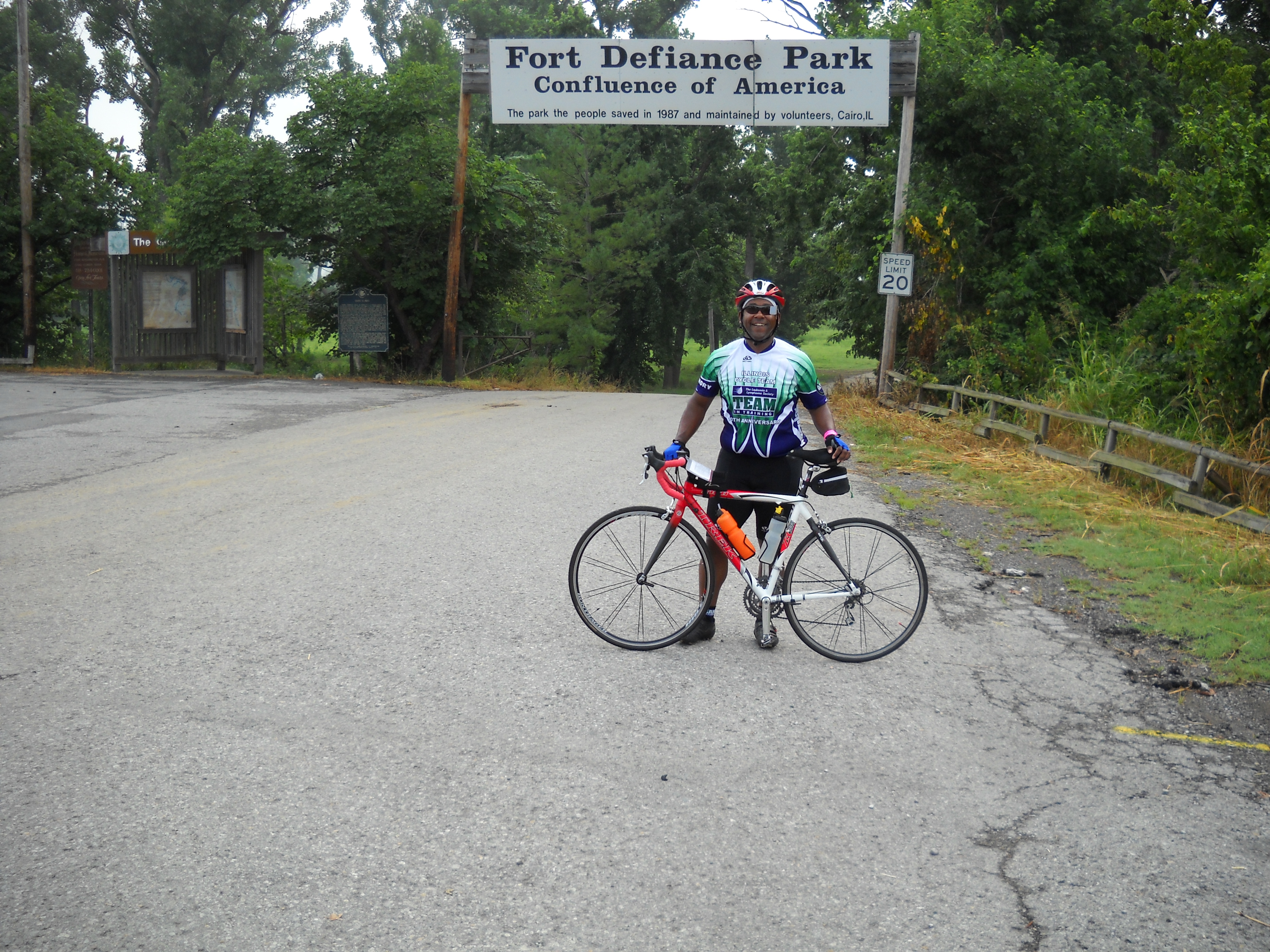
The route starts out at the furthest southernmost point
in Illinois at the confluence of the two largest rivers in
the
United
States, the Ohio and the Mississippi. From there the route
goes through the densely forested
and sparsely populated hilly Shawnee National Forest region
in southern Illinois, and then transitions into very flat,
open
riding
on the
county back roads through the corn and soybean fields of
central
Illinois. As we arrive in the Chicago area the riding will
become more urban and you will cap your experience riding
directly next to Lake Michigan into downtown on Chicago's
world famous Lakefront Path!
Note that posted route data may not correlate exactly
to the actual route you will ride due to reroutes necessary
within one month.
 Click
on one of the links at left for more information. Click
on one of the links at left for more information.
|